Very Hard
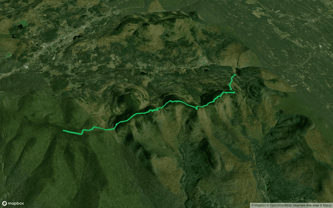
Devil's Path
Town Of Hunter, NY
- 7.1miLength
- 5489ftElevation gain
- 91mEstimated time
- TrailRoute Type
The Devil's Path is a 7.09-mile point-to-point trail located in the Town of Hunter, NY. This route features a dirt surface with a significant elevation gain of 5,489 feet, reflecting its high difficulty rating of 4. Runners should expect steep climbs and rugged terrain throughout the course, which d...
Parking
Restrooms
Water
Benches
Bike Friendly
Horse Friendly
Points of Interest
- Sherman's LookoutViewpoint(9m from trail)42.115208, -74.101902
- Jimmy Dolan Notch overlookViewpoint(94m from trail)42.117297, -74.121574
- Twin Mountain overlookViewpoint(9m from trail)42.125565, -74.129364
- Twin Mountain south summitViewpoint42.118092, -74.125893
- Sugarloaf Mountain overlookViewpoint(60m from trail)42.130844, -74.151785
Need a running partner?
Find local runners who match your pace for Devil's Path.
Nearby Places To Run
Nearby Running Events
Nearby Running Groups
Loading reviews...